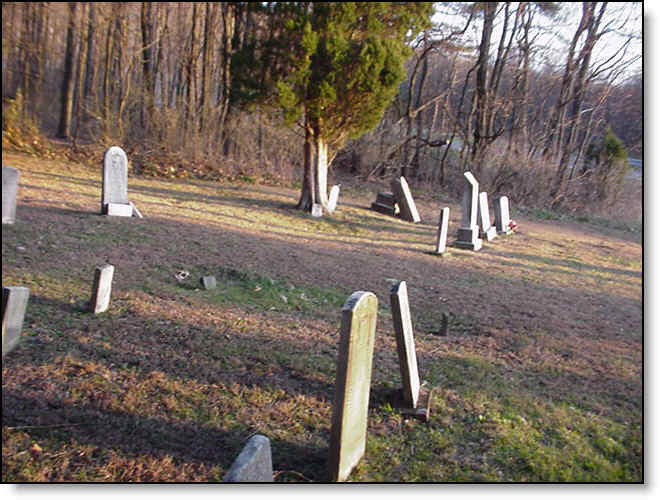
| Fort Littleton |
Dublin township at Fort Littleton; about 175 graves copied by Sam Buterbaugh in early 1970s; earliest Snyder child died 1811 and Rev. James Hunter of M.E. Church died 1820 (Address: Sinoquipe Rd, Fort Littleton, PA) |
N40°4'15.072" |
W77°58'2.876" |
|
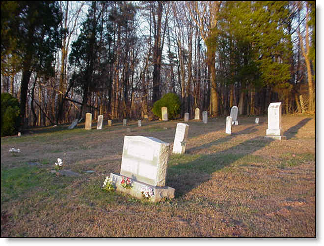
| Fort Littleton Farm |
Dublin township on old Wm. Wilds farm; copied by Gil Colledge in October 1981; 10 graves but stones moved to woods by James Stevens; earliest Baker died 1830 |
|
|
|
| Gladfelter Pulpwood & Gladfelter/Newman |
Taylor township, 2 legible and 6 fieldstones copied by Ned Knepper in 1978; and Taylor township; 2 legible and 7 fieldstones copied by Ned Knepper in 1978 |
|
|
|
| Green Hill |
|
|
|
|
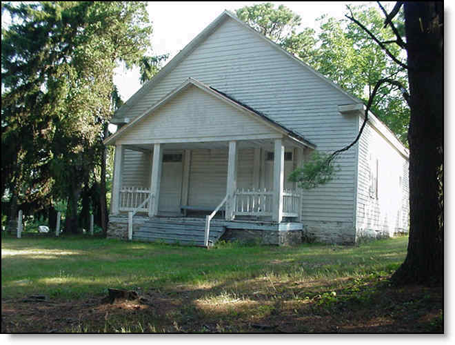
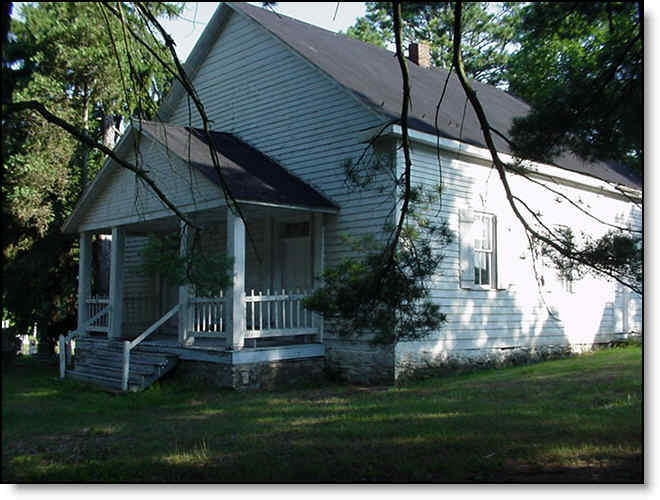
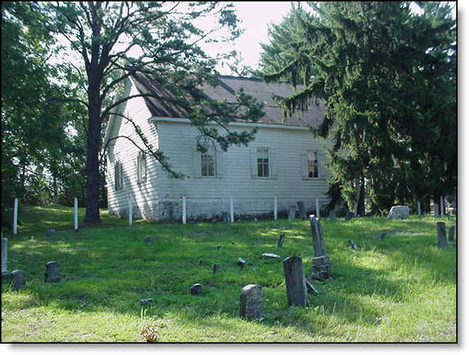
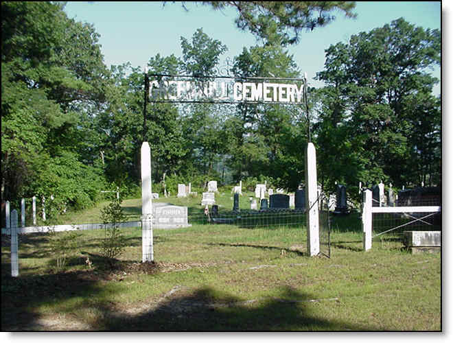
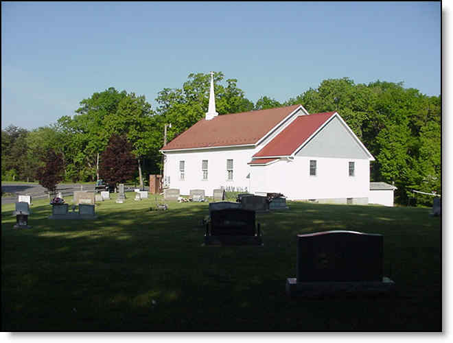
| Green Hill Presbyterian |
Licking Creek township; copied from a published church history list by George Harris in 1930 and updated by Floyd Sipes in 1978 (Address: opposite side and west of 7304 Lincoln Highway, Harrisonville, PA) |
N39°59'39.938" |
W78°5'17.837" |
|
| Gregory/Hixson |
on Greenland Road near the Maryland border; 12 stones plus others not readable, copied by David Mason in July 1984 |
|
|
|
| Hammel |
Licking Creek township; 1 marker along old rail fence post 2 miles down Sipes Mill Road, copied by Deanna Anderson in October 1983; for Mary Hammel 1747-1818 |
|
|
|
| Hammett |
Licking Creek township near Harrisonville; 3 graves on Gordon Strait farm, 1 grave on Oliver Daniels farm, copied by Sam Buterbaugh |
|
|
|
| Hendershot |
Bethel township on farm of Shirley Remsburg; 3 marked graves plus 20 fieldstones; recorded by Bernard Barton in 1993 (Address: Buck Valley Rd, Warfordsburg, PA) |
N39°45'11.953" |
W78°16'20.846" |
|
| Hendershot (Buck Valley) |
Union township in Buck Valley; 26 marked graves copied from LDS microfilm; earliest Jackson Hendershot died 1859; along Rt 484 at the foot of Sideling Hill Mountain on the Union Twp side, located along the road |
N39°45'11.5" |
W78°16'21.1" |
|
| Hills Chapel |
Bethel township near Dott; 98 marked graves copied from LDS microfilm; earliest Job Hill died 1832 (Address: Alpine Rd, Needmore, PA) |
N39°49'16.068" |
W78°10'42.888" |
|
| Hockensmith |
Licking Creek township on Hoop's Hill near Andover; 4 marked graves and 9 fieldstones copied by Hazel Harr in 1978; earliest grave 1854 |
|
|
|
| Hooper |
Bethel township off Route 643 near Bedford Chapel; 6 readable tombstones copied by D.L. Welsh in 1991 |
|
|
|
| House of Jacob |
|
|
|
|
| Humbert Farm |
Ayr Township on Dickey's Mountain Road; copied by Sam Buterbaugh, earliest fieldstone Hess died 1819 |
|
|
|
| Huston Family |
In Hustontown at the NE side of Route 475 and Pitt Street; five marked graves with 1 field stone marked B S October 21, 1837; copied by Ken Keebaugh. |
|
|
|
| Hustontown |
border of Dublin/Taylor township at United Methodist church; about 500 markers copied by Glenn Cordell in November 1982; dates from Civil War period (Address: Pleasant Ridge Rd, Hustontown, PA) |
N40°2'38.243" |
W78°1'45.383" |
|
| Hustontown |
|
|
|
|
| Hustontown (Church of God) |
|
N40°03'45.7" |
W78°00'53.4" |
|
| Hustontown Methodist? |
See aliases |
|
|
|
| Hykes/Martin |
Ayr Township south of McConnellsburg; used by Old Order River Brethren; copied by Sam Buterbaugh in the 1960s with a number of weathered field stones; this is the traditional burial place for Daniel McConnell, Sr., the founder of McConnellsburg, on a hillside behind 421 Back Run Rd, McConnellsburg, PA |
|
|
|
| Indiantown Gap National Cemetery |
|
|
|
|
| Jerusalem Christian |
Brush Creek township north of Amaranth; 110 graves copied from LDS microfilm about 1950; earliest David May died 1847 (Address:269 Church Rd.) |
N39°51'4.194" |
W78°15'0.108" |
|
| Kendall |
Ayr Township on Buterbaugh/Moore farm south of McConnellsburg; 1 marker for the first white woman to die a natural death; copied by Anne Lodge in 1982. (Address: fence row behind 16937 Great Cove Rd, McConnellsburg, PA) |
|
|
|
| Kerlin Family (Hustontown) |
|
|
|
|
| Kline |
Licking Creek township near Andover; 6 graves copied by Sam Buterbaugh; earliest Conrad Cline died 1788 |
N39°55.799' |
W78°04.974' |
|
| Knepper Farm |
Taylor township west side of Route 440; note from Ned Knepper in 1978 of 9 gravestones under a machine shed, names unknown; also 3 fieldstone markers on the Harry S. Knepper farm |
|
|
|
| Knobsville |
|
|
|
|
| Knobsville Methodist |
Todd township, west side of Route 522; about 300 graves copied by Sam Buterbaugh about 1965; earliest Thomas Campbell died 1853 (Address: Knobsville Rd, McConnellsburg, PA) |
N40°00'27.659" |
W77°57'52.226" |
|
| Knobsville Reformed |
Todd township, also known as United Brethren; copied in 1960s by Sam Buterbaugh; earliest Susanna Glunt died 1848 |
N40°00'38.1" |
W77°57'45.8" |
|
| L. Black Farm |
Taylor township; 1 legible Sipes grave; copied by Ned Knepper in 1978 |
|
|
|
| Lake Family |
Thompson township on Gladfelter Pulpwood land; 12 graves copied by Herbert Powell; earliest Peter Lake 1818-1891 |
|
|
|
| Laurel Ridge |
Ayr township along Route 928 at Christian church south of Big Cove Tannery; 54 graves copied by Hazel Harr in 1978; earliest Lewis Williams died 1914 |
N39°49'40.8" |
W78°04'1.8" |
|
| Layton |
Brush Creek township on former Howard Layton farm in Whips Cove; 26 marked graves copied by Sam Buterbaugh, plus many fieldstones |
|
|
|
| Leese Farm |
Belfast township, 2 cemeteries on Vernon Leese farm; Hessler/Morton in pine grove off Leese Road; also 3 Fink graves but markers moved in 1990s to Woodbury, PA |
|
|
|
| Locke Farm Cemetery |
Dublin Township on Sinoquipe Scout Reservation, located behind the Rangers house. 18 legible stones. Recently cleaned and fenced as an Eagle Scout project. Copied by Richard and Mary Largent and John Mentzer in 2008 (Address: Boy Scout Rd, Fort Littleton, PA ) |
N40°5'12.057" |
W77°58'14.282" |
|
| Logan |
Ayr township on George Buterbaugh farm (now Moore); 3 graves copied by Sam Buterbaugh. (Address: field west of 16937 Great Cove Rd, McConnellsburg, PA) |
|
|
|
| Lutheran |
|
|
|
|
| M.E. Cemetery |
|
|
|
|
| Magsam Family |
Ayr township south side of Route 16 east of McConnellsburg; 5 markers (Address: Buchanan Trail, McConnellsburg, PA) |
N39°55'8.857" |
W77°58'36.429" |
|
| Magsum-Cline Family |
|
|
|
|
| Mays Chapel |
Bethel township near Warfordsburg at Christian church; 70 marked graves copied from the LDS microfilm; earliest Andrew Miller, Jr. died 1864 |
N39°46'7.6" |
W78°13'48.3" |
|
| McCbg Breth. (possibly McConnellsDALE Brethren?) |
|
|
|
|
| McConnellsburg |
|
|
|
|
| McConnellsburg Christian |
|
|
|
|
| McConnellsburg Lutheran |
North Third Street in McConnellsburg; 264 marked graves copied from the Walter Sloan collection about 1940; first church built 1801, earliest marked grave Catherine Stitty died 1806 (Address: 220 N Third St, McConnellsburg, PA) |
N39°56'1.839" |
W77°59'44.644" |
|
| McConnellsburg Methodist |
North Third Street in McConnellsburg; copied in 1960s by Sam Buterbaugh; earliest Divelbiss child died 1842. (Address: beside 120 N. Third St, McConnellsburg, PA) |
N39°55'58.2" |
W77°59'47.8" |
|
| McConnellsburg Presbyterian |
South Second Street in McConnellsburg; 244 marked graves copied from Walter Sloan collection; earliest William Agnew died 1815 (Address:125 S Second St, McConnellsburg, PA) |
N39°55'53.743" |
W78°0'0.416" |
|
| McConnellsburg Reformed |
North Second Street in McConnellsburg at St. Paul's UCC; copied in the 1960s by Sam Buterbaugh; earliest marker John Fox died 1835. (Address: corner of E. Walnut and N. Second St, McConnellsburg, PA) |
N39°55'584246" |
W77°59'47.523" |
|
| McConnellsdale Brethren |
Todd township beside Calvary Independent Baptist church along Route 522; copied in 1960s by Sam Buterbaugh; earliest Grissinger baby died 1854. (Address near 140 McGoverns Lane, McConnellsburg, PA) |
N39°57'29" |
W77°58'52.7" |
|